Port Board Unanimously Approves National City Balanced Plan
Contact: Brianne Mundy Page, 619.348.1518, bpage@portofsandiego.org
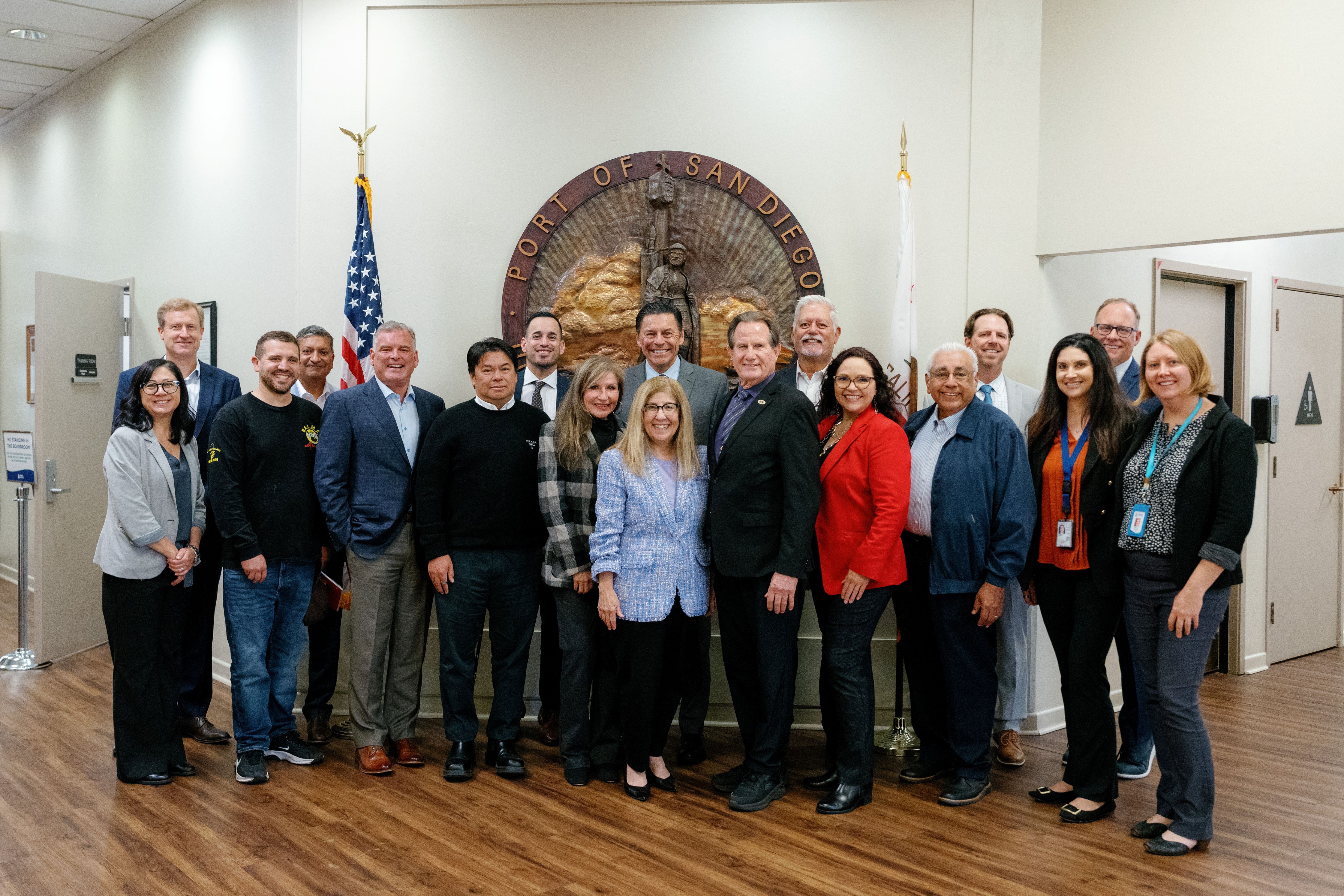
The Port of San Diego Board of Port Commissioners has unanimously accepted the California Coastal Commission’s certification of the Port Master Plan Amendment (PMPA) for what’s known as the National City Balanced Plan. This step means the Port and City can begin making progress on projects to expand commercial recreation and maritime uses and also expand and improve public access and park space on the National City Bayfront. It also paves the way for more commercial development, like an RV park and potentially future hotels.
“The National City Balanced Plan and others like it are how the Port of San Diego delivers more coastal access for people and families who live in nearby communities, visit our region, and work and play on our bay,” said Chair Ann Moore, Port of San Diego Board of Port Commissioners. “The Port, the City of National City, members of the community, and many stakeholders worked collaboratively to unlock economic opportunities for the City and to develop the waterfront into a destination for all.”
“I really appreciate this Board’s focus on ‘balance’ – in the way Chair Ann Moore uses it to describe her vision for the Port, and in how this Board and Staff are committed to achieving balance for all five member cities of the Port of San Diego,” said Dr. GilAnthony Ungab, National City’s appointee to the Board of Port Commissioners. “The Balanced Plan is a big deal for National City and has been more than a decade in the making. It marks a meaningful start to true community benefit and opens the door to economic vitality and community access to our waterfront like never before. And this is just the beginning.”
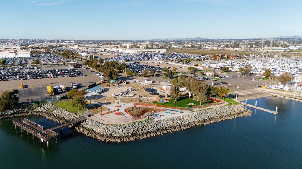
The National City Bayfront includes Pepper Park with a public boat launch and a fishing pier – and soon a new splash pad and playground, a portion of the Bayshore Bikeway, an aquatic center, many pieces of valuable public art, Pier 32 Marina, and the National City Marine Terminal.
The Balanced Plan is a land use plan for the Marina District – the area in and around Pier 32 Marina. It consists of the following:
-
Realignment of Marina Way, which will serve as the buffer area between commercial recreation and maritime uses.
-
Expansion of Pepper Park by 2.5 acres, or nearly 50 percent (from 5.19 acres to 7.69 acres).
-
East-west and north-south public access corridors, with pedestrian, bicycle, and visual access.
-
Better configured/more contiguous commercial recreation and maritime uses.
The Balanced Plan was developed in partnership between the Port and City and included significant community and stakeholder input gathered during small stakeholder working sessions, public meetings, and individual meetings with interested parties.
In addition to the expansion of Pepper Park, other associated projects related to or dependent on approval of the Balanced Plan, are as follows:
-
Road Closures Project: This project component proposes the phased closure of Tidelands Avenue between Bay Marina Drive and West 32nd Street, and West 28th Street between Tidelands Avenue and Quay Avenue. When combined, these road closures total approximately six acres. The project would increase operating efficiencies through the elimination of certain internal fences, drive aisles, and the bifurcation of terminal operations created by these roads.
-
GB Capital Project: This project component proposes a recreational vehicle (RV) park, tent sites, cabins, and the ultimate development of up to two hotels with up to 365 rooms. The project includes ancillary amenities such as, but not limited to, a clubhouse, pool, activity courts, laundry facilities, and dry boat storage; as well as in-water improvements such as, but not limited to, new docks in Sweetwater Channel.
-
Connector and Storage Rail Project: This project component proposes connector and storage rail tracks to connect the existing rail and loop track located on the National City Marine Terminal (NCMT) to additional rail car storage spots at the existing Burlington Northern Santa Fe (BNSF) National City Yard east of the National Distribution Center. The connector rail track would connect the BNSF National City Yard directly to the existing rail loop and loading tracks on the NCMT and would allow for nearby maritime uses to have both rail and rail car storage capacity which would improve efficiencies by allowing maritime uses (e.g., Pasha Automotive Services) to have easier access to empty rail cars at the BNSF National City Yard.
For more information, go to portofsandiego.org/nationalcitybayfront.
ABOUT THE PORT OF SAN DIEGO
The Port of San Diego serves the people of California as a specially created district, balancing multiple uses on 34 miles along San Diego Bay spanning five cities. Collecting no tax dollars, the Port manages a diverse portfolio to generate revenues that support vital public services and amenities.
The Port champions Maritime, Waterfront Development, Public Safety, Experiences and Environment, all focused on enriching the relationship people and businesses have with our dynamic waterfront. From cargo and cruise terminals to hotels and restaurants, from marinas to museums, from 23 public parks to countless events, the Port contributes to the region’s prosperity and remarkable way of life on a daily basis.